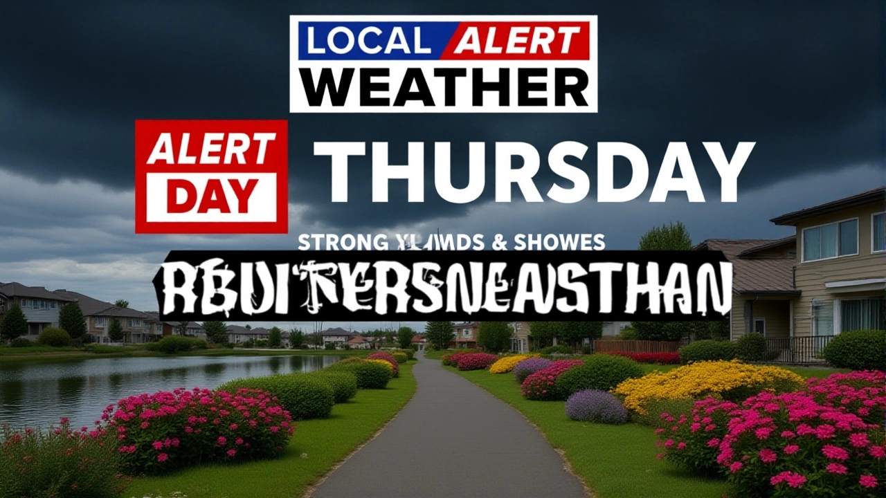
Level 4 Severe Storm Risk Hits Illinois, Indiana Wednesday
 Jun, 19 2026
When Storm Prediction Center upgraded the threat level to a rare Level 4 of 5 for parts of northern Illinois and western Indiana on Tuesday morning, it sent a clear signal: this wasn't just another bad weather day. It was potentially historic.
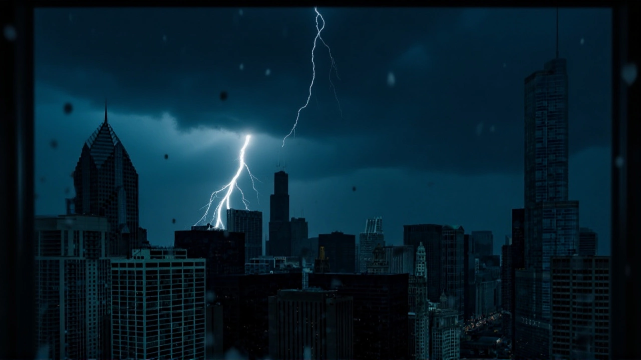
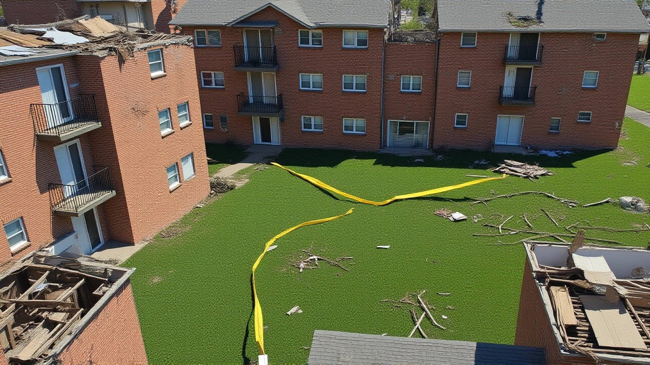
The severe storm system slammed into the Midwest on Wednesday, bringing two distinct waves of dangerous weather through Chicago, Indiana, and surrounding states. Residents faced a cocktail of hazards including strong tornadoes, destructive straight-line winds reaching 70 mph, large hail, and flash flooding in already saturated soils.
Here's the thing that makes this event particularly alarming: Illinois had already recorded 138 tornadoes by mid-June. That number is just four short of the all-time annual record of 142. With more storms brewing, the state was poised to shatter historical benchmarks.
A Two-Wave Assault on the Midwest
The forecast called for a complex, multi-stage event. According to FOX Forecast Center, the first round of storms arrived in the morning and early afternoon, delivering damaging winds and hail. But the real danger lay in wait.
By Wednesday afternoon, atmospheric conditions rapidly destabilized. Wind shear increased, creating the perfect environment for discrete supercell thunderstorms. These aren't your average rain showers; they are rotating storms capable of producing intense, long-track tornadoes. The peak risk window was identified between 2:00 p.m. and 6:00 p.m., when meteorologists warned of isolated but potent tornado threats.
As evening approached, these individual supercells began to merge. They evolved into a solid line of severe storms—a squall line—that swept across the region with widespread, destructive straight-line winds. This second wave extended the threat well into the night, keeping residents on edge until at least 10:00 p.m.
Risk Levels and Geographic Impact
The severity of the threat varied by location, creating a patchwork of danger zones. The National Weather Service issued specific categorical risks:
- Level 4 (High Risk): North-central Illinois and western Indiana. This designation indicates a high confidence in significant severe weather, including strong tornadoes.
- Level 3 (Enhanced Risk): Parts of Kankakee County, Kendall County, and Will County in Illinois, along with northwest Indiana. Areas under this watch saw favorable conditions for tornado development.
- Level 2 (Slightly Enhanced Risk): The broader Chicago metropolitan area, Indianapolis, Detroit, and a corridor stretching from Kansas City to St. Louis.
While the highest risk shifted south of Chicago, the city itself was not spared. A Flood Watch remained in effect for the entire Chicago area until 9:00 p.m. on Wednesday. Given that the ground was already soaked from previous weeks of storms, even moderate rainfall could trigger rapid flooding.
Record-Breaking Tornado Activity
Context matters here. This Wednesday's outbreak didn't happen in a vacuum. Just days earlier, northern Illinois had been battered by 17 tornadoes. In a separate recent outbreak, 13 confirmed tornadoes touched down across north-central and northeastern Illinois, including at least two within the Chicago metro area.
These cumulative events pushed the statewide total to 138 tornadoes by mid-June. To put that in perspective, the previous record of 142 stood for years. Meteorologists noted that Illinois was approaching this milestone months before the typical end of tornado season. If the Wednesday storms produced even a handful of new touchdowns, the record would likely fall.
Historical data from the Weather Forecast Office Chicago shows that the region has a documented history of significant tornadoes. Between 1855 and 2008, 92 significant tornadoes (rated EF2 or higher) struck the eight-county Chicago metro area. The deadliest occurred on April 21, 1967. While modern forecasting has improved safety, the physical potential for violent storms remains unchanged.
Flooding Compounds the Danger
Tornadoes grab headlines, but water kills quietly. Widespread rainfall totals of 1 to 2 inches were expected across Wisconsin, Illinois, Michigan, and Indiana. In localized areas, amounts exceeded 2 to 3 inches.
Because the soil was already saturated from prior storms, infiltration rates were near zero. "It will take only some additional rainfall to spark flash flooding," noted forecasters. This meant that low-lying areas, poor drainage zones, and urban streetscapes were at immediate risk of inundation, compounding the chaos caused by wind and hail.
What Experts Are Saying
Meteorologists from ABC7 AccuWeather emphasized the unpredictability of the tornado threat. While the risk was highest in central Illinois, isolated tornadoes could form anywhere within the storm complex. The shift in the tornado corridor—moving further south than initially predicted—caught some off guard, highlighting the dynamic nature of severe weather systems.
The consensus among agencies, including CBS Chicago and FOX 32 Chicago, was clear: stay alert, have multiple ways to receive warnings, and avoid travel during the peak hours of 2:00 p.m. to 6:00 p.m.
Frequently Asked Questions
What does a Level 4 severe weather risk mean?
A Level 4 risk, out of 5, indicates a high confidence in significant severe weather. It suggests that strong or intense tornadoes, widespread damaging winds, and large hail are likely. This is one of the highest risk categories issued by the Storm Prediction Center and warrants serious preparation and vigilance.
Why is Illinois close to breaking its tornado record?
Illinois had recorded 138 tornadoes by mid-June, just four shy of the all-time annual record of 142. Recent outbreaks, including 17 tornadoes in northern Illinois alone in one week, contributed to this surge. The atmospheric conditions in the Midwest have been highly conducive to tornado formation this year.
What is the difference between a Tornado Watch and Warning?
A Tornado Watch means conditions are favorable for tornadoes to develop. You should be prepared to act quickly. A Tornado Warning means a tornado has been spotted by radar or observers. Immediate action is required: seek shelter in a basement or interior room away from windows immediately.
How did saturated ground affect the flood risk?
With soils already wet from previous weeks of storms, the ground could not absorb additional rainfall efficiently. This led to rapid runoff, increasing the likelihood of flash flooding even with moderate rain totals of 1 to 2 inches. Low-lying areas and urban infrastructure were particularly vulnerable.
Which areas faced the highest risk during this event?
North-central Illinois and western Indiana faced the highest Level 4 risk. Central Illinois counties like Kankakee, Kendall, and Will, along with northwest Indiana, were under a Level 3 risk. The broader Chicago metro area and cities like Indianapolis and Detroit faced a Level 2 risk.